
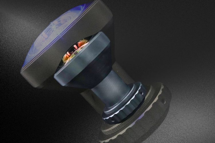
Avantier’s sophisticated design process for wide-angle infrared lenses ensures superior image quality and compact form factors for both traditional and modern imaging applications.
The Aerial imaging tag gathers content related to optical solutions for cameras and sensors mounted on drones, aircraft, and other airborne platforms used in mapping, surveillance, and environmental monitoring. Articles under this tag highlight how carefully designed lenses and imaging systems must balance resolution, field of view, size, weight, and robustness to capture sharp data from variable altitudes and viewing angles. Topics often include stabilization considerations, spectral band selection for visible and infrared imaging, and the integration of optics with gimbals, detectors, and data-processing pipelines. The tag may also feature case studies where Avantier supports customers in developing rugged, lightweight optics that maintain performance under vibration, temperature changes, and weather exposure typical of aerial operations. For engineers and system integrators working on geospatial mapping, precision agriculture, infrastructure inspection, or security applications, this tag offers insight into best practices and real-world implementations. It illustrates how Avantier’s custom design and manufacturing capabilities help optimize optical performance and system reliability for demanding airborne imaging missions.
Avantier’s sophisticated design process for wide-angle infrared lenses ensures superior image quality and compact form factors for both traditional and modern imaging applications.