
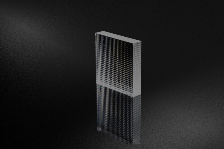
Discover how Avantier’s custom microlens array designs and solutions overcome material and precision challenges, delivering tailored, high-performance solutions for diverse applications.
The Hyperspectral imaging tag groups content on optical systems that capture information across many narrow spectral bands, enabling advanced material identification and data analysis. Articles under this tag may describe line-scan and area-scan hyperspectral imagers used in remote sensing, environmental monitoring, precision agriculture, and industrial inspection. Topics include design considerations for spectrographs, imaging lenses, and dispersive elements, as well as stray light control, calibration, and signal optimization. The tag can also address integration with detectors and data-processing pipelines that convert spectral cubes into actionable information. For engineers and scientists developing hyperspectral instruments, these resources clarify how optical design choices affect spatial and spectral resolution, throughput, and overall system performance. They also emphasize Avantier’s ability to provide custom optics and assemblies tailored to the specific wavelength ranges and application requirements of hyperspectral imaging systems.
Discover how Avantier’s custom microlens array designs and solutions overcome material and precision challenges, delivering tailored, high-performance solutions for diverse applications.

Space-based LIDAR and hyperspectral imaging combine precise 3D mapping with detailed spectral analysis to monitor Earth’s surface, enabling insights into ecosystems, resources, and climate while advancing applications in science, industry, and sustainability.

Explore SWIR hyperspectral camera lenses, blending short-wave infrared technology with hyperspectral imaging for detailed spectral analysis.
